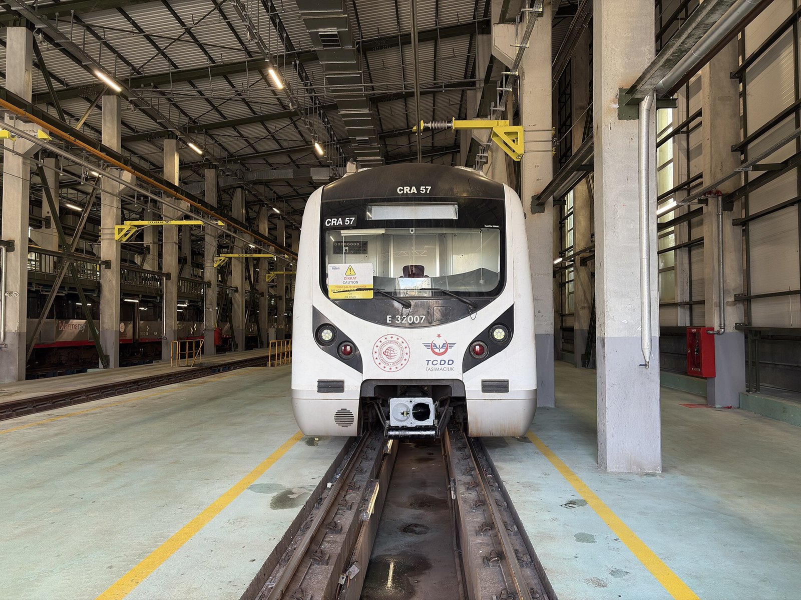
Marmaray is the rail tunnel that runs under the Bosphorus itself, linking the European and Asian sides of Istanbul by train rather than by boat or bridge. It opened in October 2013, takes the same İstanbulkart as every bus, tram and ferry in the city, and moves commuters and long-distance rail traffic through a tube laid directly on the seabed — not carved through rock.
That last detail is the one worth pausing on. Marmaray is an immersed-tube tunnel: prefabricated sections were floated into position, sunk into a trench dredged into the strait floor, and joined underwater — a method used elsewhere in the world but rarely at this depth or over this distance. The crossing itself, between Sirkeci on the European side and Üsküdar on the Asian side, takes about four minutes. The tunnel is only the middle section of a much longer suburban line that runs far beyond either shore: west to Halkalı, east to Gebze, carrying tens of kilometres of regular commuter rail on either end of the undersea stretch.
How the fare works
Marmaray is priced and boarded exactly like the metro: tap an İstanbulkart at the gate, tap out is not required on this line, and a transfer to or from another Marmaray, metro, tram, bus or ferry journey made within the standard transfer window is discounted rather than charged as a fresh fare. There is no separate “tunnel supplement” — the undersea section is simply part of the line’s normal distance-based structure. For exactly what a single ride and a transfer currently cost, the operator’s own published tariff is the only figure worth trusting; fares here have moved more than once in recent years, and this site does not print numbers it cannot guarantee are still true. For how the card itself works — top-up, transfer windows, what it doesn’t cover — see our separate guide to how the İstanbulkart works.
Which crossing to actually take
Most visitors encounter Marmaray at one of two points, and they are not interchangeable trips. Knowing which one you need before you board saves a genuinely annoying detour.
| Route | What it is | Onward connections at destination | Use it when |
|---|---|---|---|
| Sirkeci → Üsküdar | The short undersea hop, roughly four minutes, station to station | Üsküdar has a funicular and the M5 metro line, but no tram — it is not on the T1 line at all | You want to say you’ve crossed under the Bosphorus and are prepared to come straight back the same way |
| Sirkeci → Ayrılık Çeşmesi | One stop further than Üsküdar, still under the strait and beyond it | Short walk or connecting bus to Kadıköy’s ferry piers, market streets and the wider Asian-side transport network | You actually want to reach Kadıköy, not just touch the Asian shore and turn around |
The trap is Üsküdar. It’s an old, dense district in its own right and worth visiting on its own terms — the view back at the old city’s skyline from its waterfront is one of the best in Istanbul — but it sits outside the tram network entirely. Visitors who ride Marmaray to Üsküdar expecting to pick up a tram back into Sultanahmet, the way the whole European-side sightseeing route works, find there isn’t one. The way back is the same train, in reverse, or a longer bus or funicular link — not a tram stop conveniently waiting on the other side. Travellers who don’t check this in advance and are short on time sometimes end up paying for a taxi back across a bridge instead of a four-minute train ride they’d already paid for once. The fix is simple: if Üsküdar itself is the destination, go, and plan the return by the same tunnel. If Kadıköy — livelier, with its own ferry piers and market streets — is actually the goal, stay on one more stop to Ayrılık Çeşmesi and connect from there, rather than getting off at Üsküdar and improvising.

Where Marmaray fits against the ferry
Marmaray is not the only way across, and it isn’t automatically the better one. The public ferries that cross the Bosphorus and the Golden Horn take the same İstanbulkart, cost the same order of fare as a bus ride, and are the actual commute for tens of thousands of Istanbullus a day — not a sightseeing product. As this site has argued elsewhere, the Bosphorus ferry is public transport, not a tour, and the boats moored at the tourist piers advertising “Bosphorus cruises” are charging several times as much for water the public ferry crosses for the price of a bus fare. Marmaray is faster and runs underground in all weather; the ferry is slower and gives you the skyline. Neither is a novelty ride sold at a premium — both are simply how the city gets from one side to the other.

Rush hour, and who it’s really for
Marmaray was built primarily to move commuters, and it shows twice a day. The morning and evening peaks, when residents of the Asian-side suburbs travel into the European-side business districts and back, are genuinely crowded — standing room only, frequent trains, brisk boarding. Visitors travelling mid-morning or early afternoon will find a calmer version of the same system. If a trip can be timed outside the two rush windows, it generally should be, on comfort grounds rather than anything to do with the fare.
What this means for planning
Marmaray is one line among several that an İstanbulkart covers, and how it fits into a broader Istanbul itinerary depends on which continent a visitor is actually based on. Staying in Sultanahmet or Beyoğlu on the European side and treating the tunnel as a half-day excursion to Kadıköy or Üsküdar works well; trying to use it as a daily commute between accommodation on one side and sights concentrated on the other adds a transfer to every single outing. For the wider question of how the city’s transport pieces — trams, metro, buses, funiculars and the two waterways — connect to each other, the Getting Around archive covers each mode on its own terms. Anyone still deciding where to stay, and on which side, will find the two-continent question addressed directly in the site’s broader Planning & Practicalities section, and the general shape of card-based fares against cash prices is laid out in Money in Istanbul: Cards, Cash, and the Two-Tier Museum Price.
Marmaray’s own current timetable, service frequency and any planned engineering closures are published by its operator, Turkish State Railways, whose national site is the authoritative source for schedule changes on the line — see TCDD. For background on how the crossing was engineered and financed, including the international partners involved in the project, the Japan International Cooperation Agency, one of the tunnel’s funders, has published project documentation on its own site, JICA. Readers wanting to understand how this site sources and checks claims like these — and what it does and doesn’t do — can see how this site is written, checked and paid for; details on what’s collected while reading are set out in the privacy policy.


Access Istanbul is an independent guide written from published, checkable sources. We have not visited the places described here and we do not publish personal recommendations or invented ‘local favorites’ — where something is singled out as notable, we say who says so. Opening times, fares, closures and prices change at short notice, so treat everything here as a starting point and confirm with the museum, operator or venue directly before building a day around it. We give no advice on visas, insurance, health or safety; use your own government’s official guidance for those.
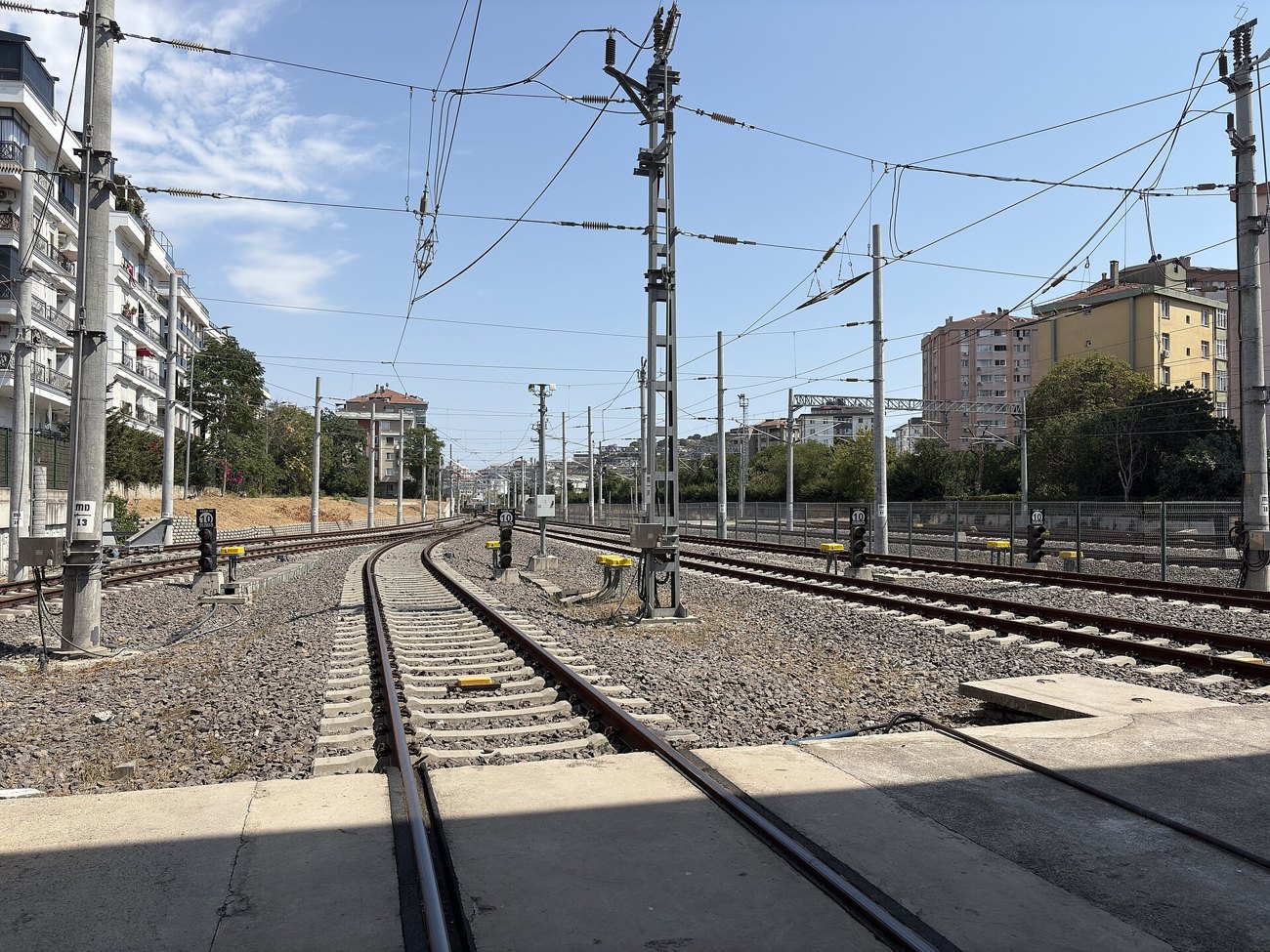
Featured image: Photo by Kayra, source, CC BY 4.0
